
Photo: Roman Castillo / Pexels
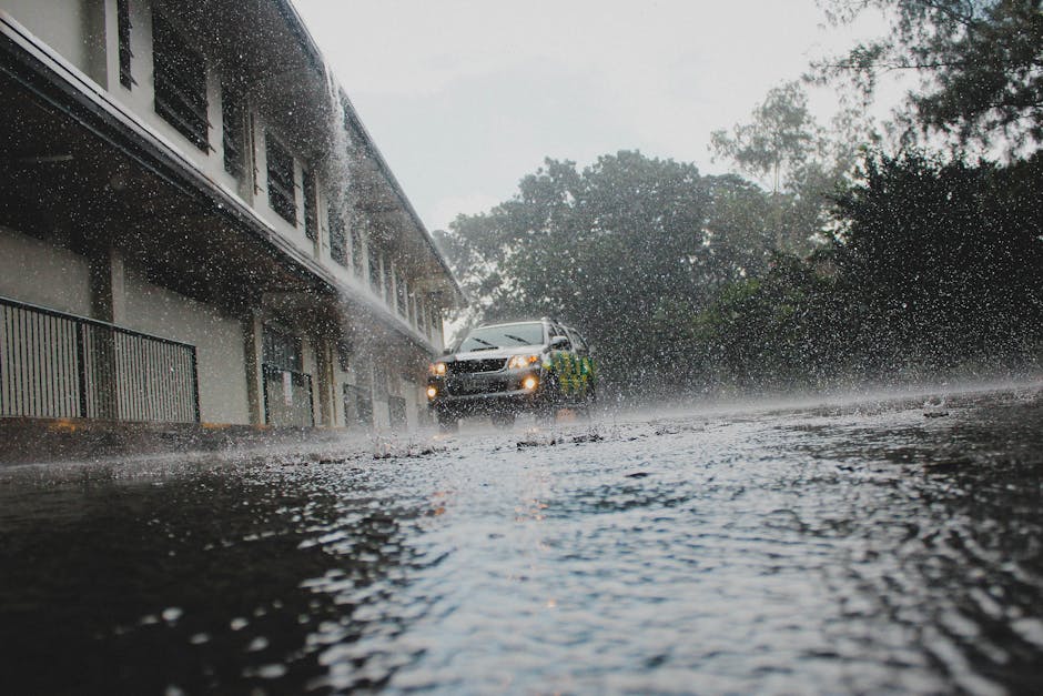
Heavy to very heavy rain is forecast for 13 provinces in Thailand today (14 November 2026), with the south hit hardest by the northeast monsoon. That is down from 15 provinces on 13 November and 14 on 12 November. Krabi and Koh Lanta are not named in the heavy-rain list, but the Andaman coast still has scattered thundershowers and rough seas offshore, and the rain may get worse across the South from 18 to 22 November.
Weather systems
The Thai Meteorological Department says a moderate high-pressure system covers the North, Northeast and South China Sea. The northeast monsoon continues over the Gulf and the South.
Which provinces are affected
Fairly widespread thundershowers are expected in nine provinces: Prachuap Khiri Khan, Chumphon, Surat Thani, Nakhon Si Thammarat, Phatthalung, Songkhla, Pattani, Yala and Narathiwat.
Scattered thundershowers are expected in four more: Phang Nga, Ranong, Trang and Satun.
Krabi and Koh Lanta are not on the heavy-rain list. Trang and Satun, to the south, are.
Regional forecasts
| Region | Lows | Highs | Notes |
|---|---|---|---|
| Bangkok | 24-26°C | 32-34°C | Cloudy, isolated rain, 1-2°C rise, easterly winds 10-20 km/h |
| North | 16-22°C | 28-34°C | Light fog, isolated rain, mountain tops 10-15°C, NE winds 10-20 km/h |
| Northeast | 19-22°C | 31-33°C | Light fog, 1-2°C rise, isolated rain, mountain tops 11-17°C, NE winds 10-20 km/h |
| Central | 22-25°C | 31-34°C | Cloudy, 1-2°C rise, isolated rain, easterly winds 10-20 km/h |
| East | 23-26°C | 32-34°C | Rain mostly in Nakhon Nayok, Chonburi, Rayong, Chanthaburi, Trat; easterly winds 15-30 km/h; waves about 1 m, higher offshore |
| South, east coast | 22-24°C | 29-34°C | Widespread thundershowers, isolated heavy rain; Surat Thani northward: NE winds 15-35 km/h, waves 1-2 m (over 2 m in thundershowers); Nakhon Si Thammarat southward: easterly winds 20-35 km/h, waves about 2 m (over 2 m in thundershowers) |
| South, west coast (Andaman) | 23-25°C | 27-34°C | Scattered thundershowers, isolated heavy rain; easterly winds 15-35 km/h; waves about 1 m, 1-2 m offshore, over 2 m in thundershowers |
What this means for Koh Lanta
Koh Lanta sits on the Andaman coast. The forecast there is scattered thundershowers with isolated heavy rain, easterly winds of 15-35 km/h, and waves of about 1 m. Offshore waves are 1-2 m, and over 2 m in thundershowers. Check boat and ferry schedules before you travel.
Warnings
- The South should beware of heavy to very heavy rain. Accumulated rain may cause flash floods and overflows, with the greatest risk near foothills and waterways.
- Ships in the lower Gulf should proceed with caution and avoid thundershowers, where waves reach about 2 m and above.
- Upper Thailand can expect thundershowers with gusts at first, then cooler temperatures and strong wind.
Tips for travellers
- Gulf side (Koh Samui, Koh Phangan, Koh Tao area): these are the worst conditions. Expect rough seas, so ferry delays or cancellations are likely.
- Flash floods: avoid foothills, waterfalls and streams in the South. Roads may flood.
- North and Northeast: mornings are cool (mountain tops 10-17°C), so pack a light layer.
- Bangkok, Central and East: mostly cloudy with isolated rain and mild-to-hot temperatures, with few disruptions expected.
Outlook, 18-22 November
Continuous rain is forecast, with scattered heavy to isolated very heavy rain across the South. If you have travel planned then, build in buffer days and stay flexible.
Information sourced from The Thaiger.