
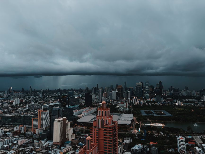
Photo: Oleg Prachuk / Pexels
Thailand's Meteorological Department has issued a heavy rain alert for seven southern provinces on 3 November 2026, driven by a high-pressure system from China and easterly winds over the Gulf and the Andaman Sea. Most of the country is seeing thundershowers, with the Gulf side of the South getting the worst of it. The Andaman coast has scattered thundershowers but no heavy-rain alert, and seas are rough on both coasts.
What is causing the weather
A high-pressure system from China is covering the upper Northeast and the South China Sea. Easterly winds over the Gulf of Thailand, the country itself and the Andaman Sea are driving the unsettled conditions.
Heavy rain alert in the South
Seven provinces, all in the South, are under a heavy rain alert:
- Nakhon Si Thammarat
- Narathiwat
- Pattani
- Phatthalung
- Songkhla
- Surat Thani
- Yala
Residents of the affected southern provinces should watch for flash floods.
Andaman coast (west side of the South)
This is the coast that matters most for Koh Lanta readers. The forecast calls for scattered thundershowers, mostly in Phang Nga, Phuket, Trang and Satun. Heavy rain is not forecast for this coast, only thundershowers.
| Detail | Forecast |
|---|---|
| Lows | 23-24°C |
| Highs | 32-35°C |
| Winds | Easterly, 15-30 km/h |
| Waves | 1-2 m, above 2 m in thundershowers and higher offshore |
Krabi and Koh Lanta are not named in the forecast. The nearest named areas are Phang Nga, Phuket and Trang, so it is reasonable to expect scattered thundershowers and rough seas here rather than heavy rain. That is an inference from the neighbouring provinces, not something the forecast says directly.
Gulf coast (east side of the South)
The Gulf side has scattered thundershowers with isolated heavy rain in the seven alert provinces. Lows are 22-25°C and highs 32-34°C. Waves are about 1 m, rising above 2 m in thundershowers.
- Winds are easterly at 15-30 km/h from Surat Thani upward.
- Winds are southeasterly at 15-30 km/h from Nakhon Si Thammarat downward.
Travel on this side is the most likely to be affected.
Rest of the country
| Region | Conditions | Lows | Highs | Winds |
|---|---|---|---|---|
| Bangkok | Scattered thundershowers with gusty wind | 24-26°C | 32-34°C | Southeasterly, 10-20 km/h |
| North | Isolated thundershowers | 21-24°C | 35-37°C | Easterly, 10-20 km/h |
| Northeast | Isolated thundershowers | 21-25°C | 35-36°C | Northeasterly, 10-20 km/h |
| Central | Scattered thundershowers | 24-26°C | 35-36°C | Easterly, 10-20 km/h |
| East | Scattered thundershowers | 23-25°C | 33-35°C | Southeasterly, 10-30 km/h |
In the North, storms are mostly in Mae Hong Son, Chiang Mai, Uttaradit, Tak, Phitsanulok and Phetchabun. In the Northeast, they are mostly in Khon Kaen, Chaiyaphum, Nakhon Ratchasima, Buriram, Surin, Si Sa Ket and Ubon Ratchathani. In the Central region, they are mostly in Kanchanaburi, Suphan Buri, Lop Buri, Saraburi, Ratchaburi, Ayutthaya, Nakhon Pathom, Samut Songkhram and Samut Sakhon. In the East, they cover Nakhon Nayok, Prachin Buri, Sa Kaeo, Chachoengsao, Chon Buri, Rayong, Chanthaburi and Trat, with waves under 1 m and rising above 2 m in thundershowers.
What it means for your plans
- Expect rough seas on both coasts. With waves of 1-2 m and above 2 m in storms, boat trips and island transfers may be disrupted or cancelled.
- Carry rain gear.
- During severe weather, avoid open areas, large trees and unsecured billboards.
- Ships in the Andaman Sea and the Gulf should avoid thundershowers, where waves exceed 2 m.
Information sourced from The Thaiger.